



 01
01Bad Elf
High-Accuracy GNSS & Mobile Field Data
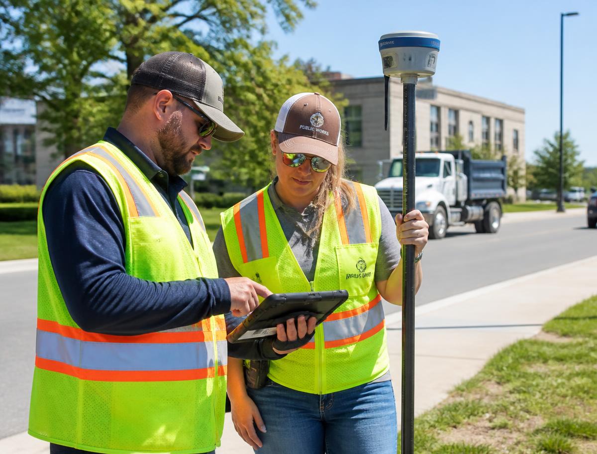
Explore practical ways field crews can bring high-accuracy positioning into mobile GIS and data-collection workflows using Bluetooth-connected GNSS technology.
A hands-on technology experience for Local Government, Utilities, Public Works, Engineering and GIS leaders.
Phoenix, AZ · San Antonio, TX
Half-Day, Hands-On Sessions
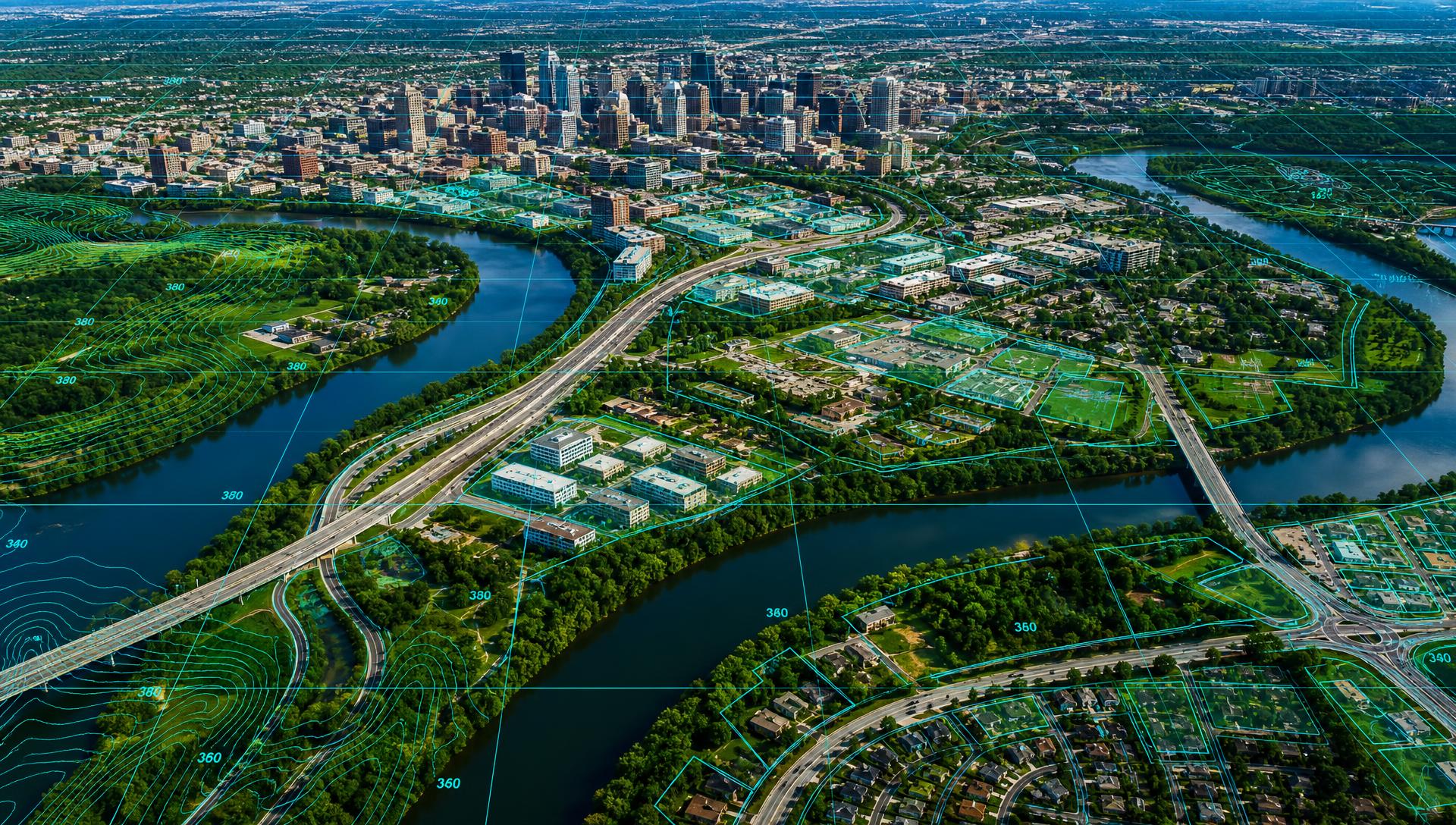
From high-accuracy field data collection and mobile mapping to drones, reality capture and increasingly automated workflows.
The Geospatial Innovation Preview brings a select group of complementary technology companies together for a highly practical, half-day experience designed specifically for public-sector and infrastructure professionals.
Just real technology, real workflows and live demonstrations — with the opportunity to talk directly with the people building and deploying these solutions.
Choose Your Session
To keep the experience focused and interactive, capacity is split across a morning and an afternoon program.
8:30 – 10:30 AM
Short, practical presentations from participating technology companies exploring new approaches to:
The emphasis is on what agencies can do today — and what is coming next.
10:45 AM – 12:00 PM
Move from presentation to practice. Attendees will rotate through indoor and outdoor demonstration stations where participating companies will show their technology operating in real-world workflows.
12:00 – 1:30 PM
Meet the technology teams, compare approaches with peers and discuss specific applications within your organization.
The afternoon repeats the program for a second group of attendees, then closes with an open networking hour.
1:30 – 3:30 PM
3:45 – 5:00 PM
5:00 – 6:30 PM
Attendees simply select the Morning Session or Afternoon Session when registering.
Request InformationParticipating Technology Companies
01High-Accuracy GNSS & Mobile Field Data
Explore practical ways field crews can bring high-accuracy positioning into mobile GIS and data-collection workflows using Bluetooth-connected GNSS technology.
02Reality Capture, Photogrammetry & 3D Mapping
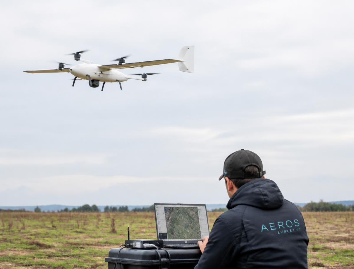
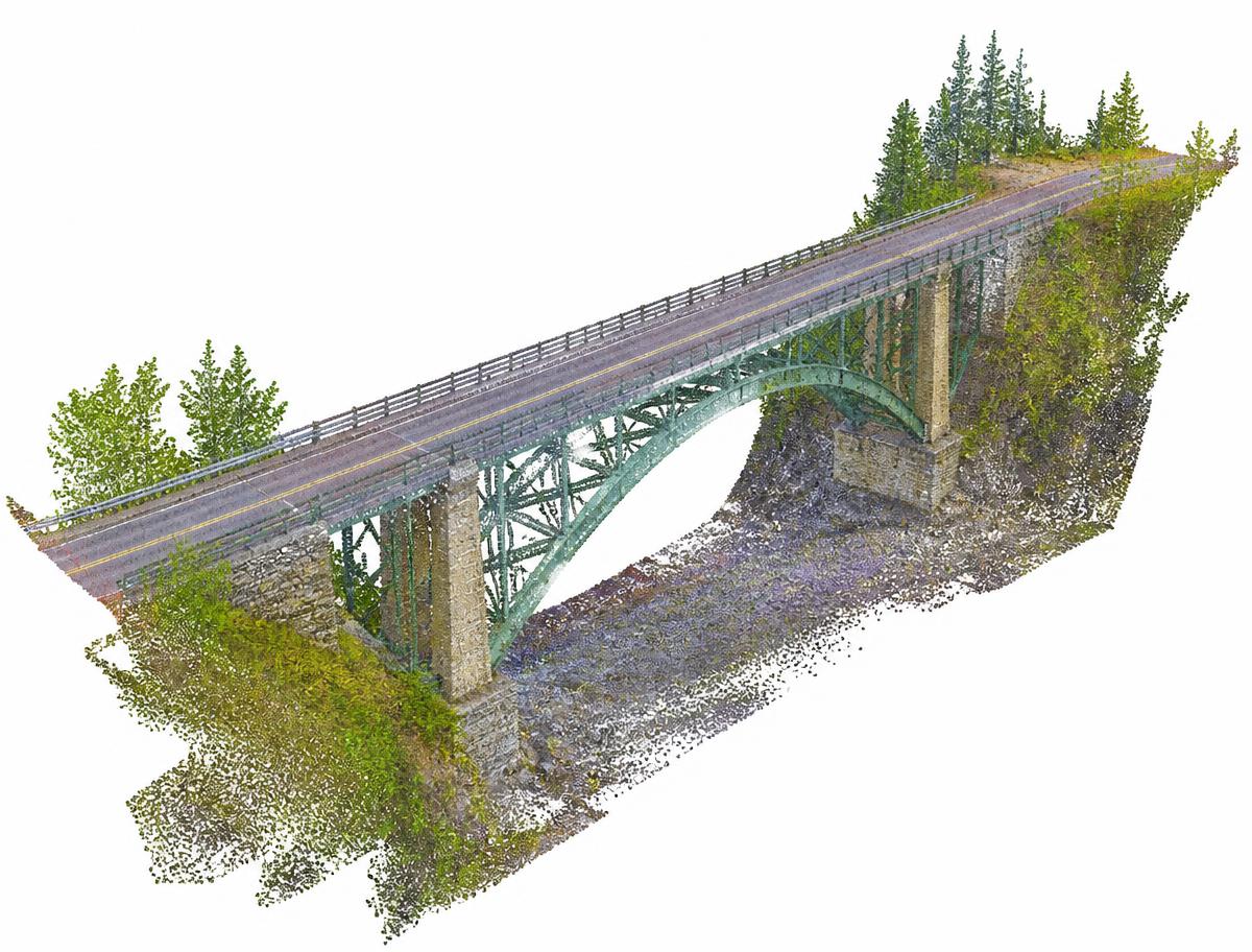
See how terrestrial and aerial imagery can be transformed into accurate maps, point clouds, 3D models and other geospatial information for infrastructure and field operations.
03Lorem Ipsum
Lorem ipsum dolor sit amet, consectetur adipiscing elit. Ut enim ad minim veniam, quis nostrud exercitation ullamco laboris nisi ut aliquip ex ea commodo consequat.
Additional complementary technology partners may join individual cities. Partners are selected to provide different, complementary elements of the geospatial workflow rather than competing solutions.
Participating Cities
Arizona and the surrounding region
Central and South Texas
Front Range region
Wasatch Front region
North Texas region
Southern Nevada region
Who Should Attend?
Why Attend?
Discover emerging geospatial technologies without having to travel to a major industry conference.
See solutions demonstrated indoors and outdoors rather than simply watching a presentation.
Understand how positioning, aerial capture, reality capture, mobile GIS and mapping technologies can work together.
Talk directly with product specialists about your agency's own projects, workflows and challenges.
Connect with other government, utility and infrastructure professionals from across your region.
First Locations

Geospatial Innovation Preview — Phoenix
Serving public agencies, utilities and infrastructure organizations from across Arizona and the surrounding region.
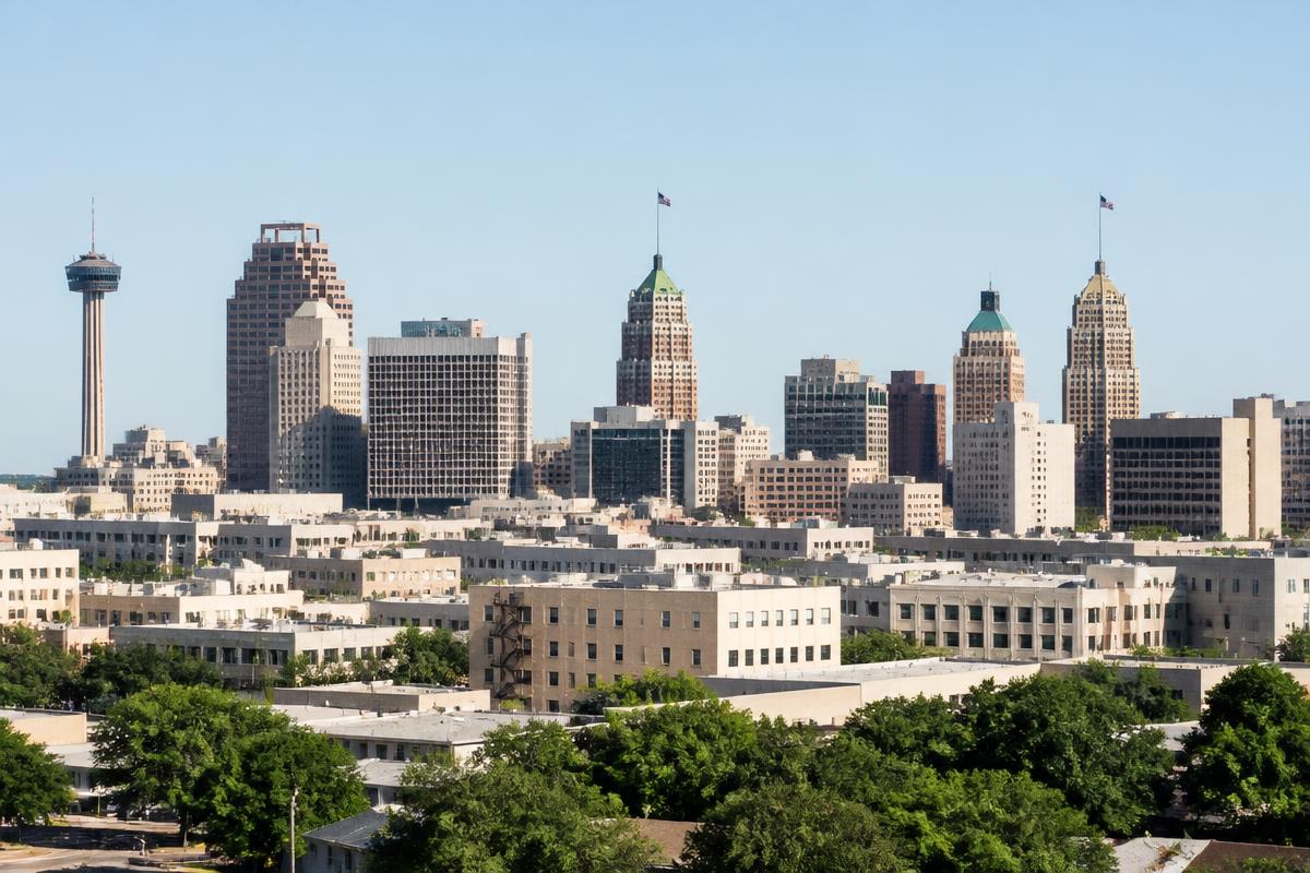
Geospatial Innovation Preview — San Antonio
Serving public agencies, utilities and infrastructure organizations from across Central and South Texas.
Reserve Your Place
Attendance is complimentary for qualified government, utility and infrastructure professionals. Space is intentionally limited to keep the experience highly interactive.
The Geospatial Innovation Preview is intentionally different from a traditional conference, tradeshow or webinar.
We bring a small number of complementary technologies together in one location, give each company enough time to explain what is genuinely new, and then move outside and put the technology to work.
Come for the ideas. Stay for the demonstrations. Leave understanding what you could deploy next.
Attendance is complimentary for qualified government, utility and infrastructure professionals.
Space is intentionally limited to maintain a highly interactive experience.